Restoring Boston’s Buried Waterways
How recovering natural systems can solve sewer overflows and prepare cities for a changing climate
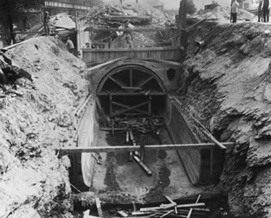
Combined sewers are often described as a failed technology, but they are nothing of the sort. They are an elegant solution—for the 19th-century cities they were built to serve.
In the 1870s, construction began on Boston’s combined sewer system, which was designed to carry sewage and stormwater away from city streets in the same pipe. As long as the city remained relatively small and permeable, the system worked remarkably well.
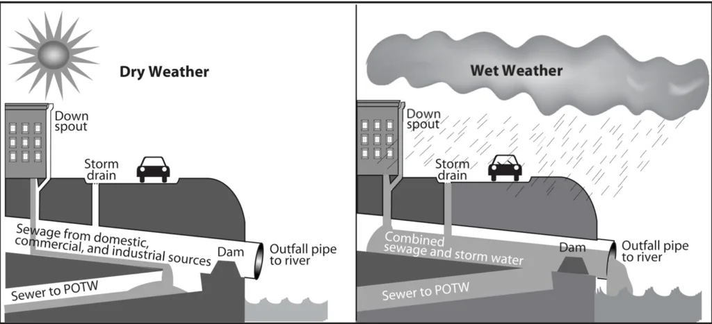
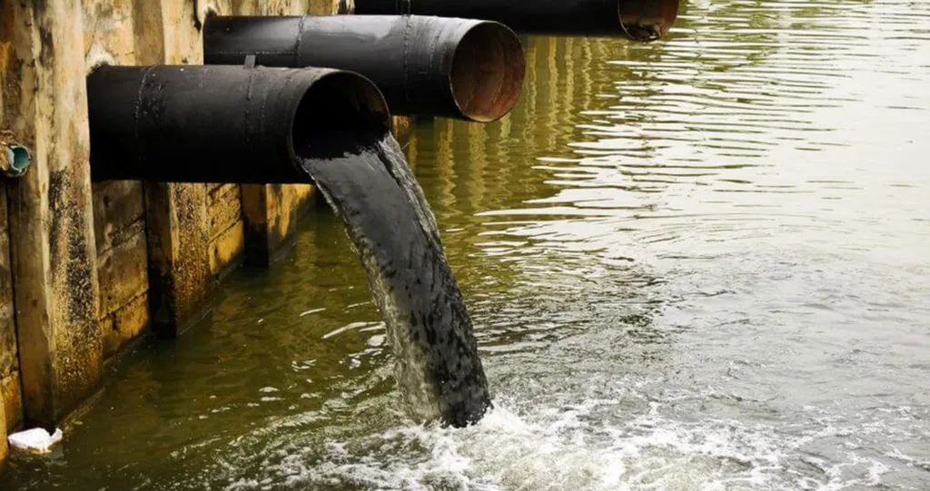
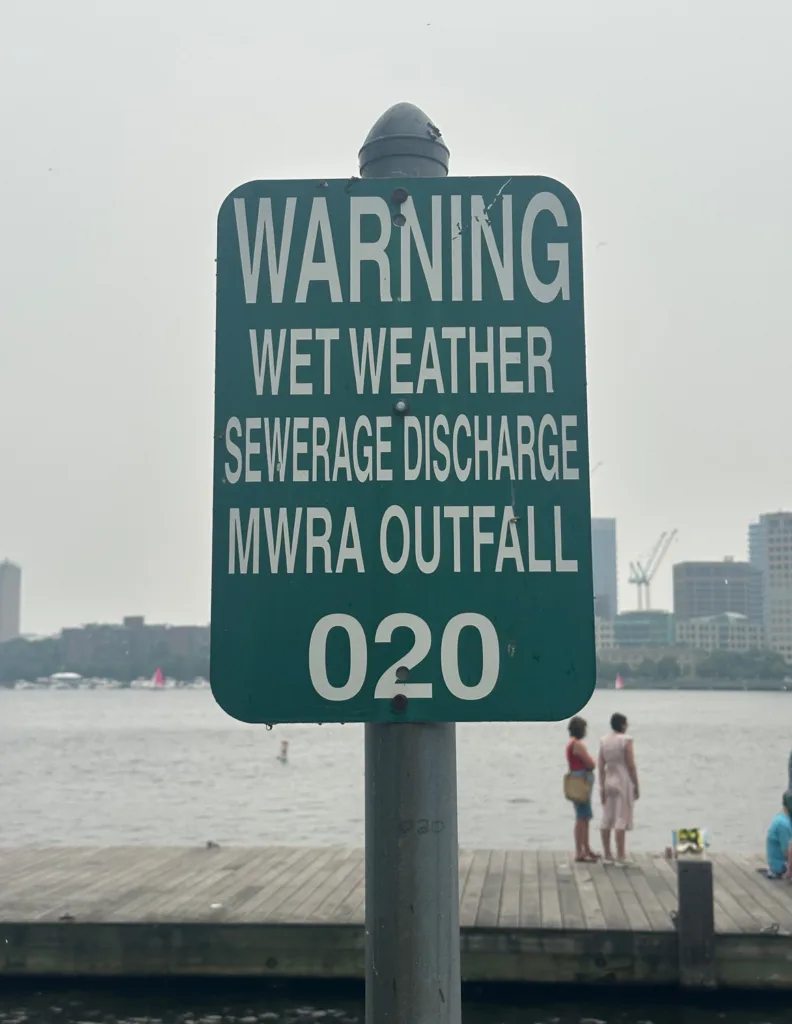
By the early 20th century, the city had dramatically changed. Pavement replaced cobblestone and gravel. Rainwater that once soaked into the ground instead rushed across the impervious streets, carrying pollution and overwhelming pipes designed for a different era. To prevent sewage from backing up into homes, engineers built in an escape hatch that discharges the flow—untreated sewage along with stormwater—directly into the Charles River. These combined sewer overflows (CSOs) were not part of the original design. They were an adaptation by a city that had destroyed its water-absorbing wetlands and outgrown its pipes.
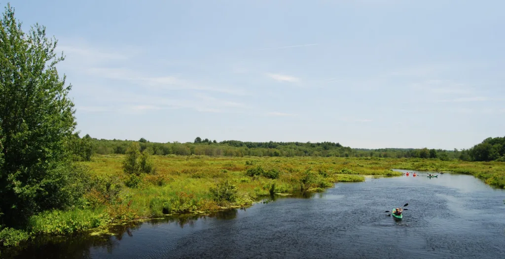
When I joined the Charles River Watershed Association (CRWA), a Boston-based nonprofit working to restore and protect the Charles River, in 1990, the Charles was widely regarded as a river that had always been dirty. I remember hearing exactly that from a senior public official and thinking, “Nope. Rivers do not begin life as open sewers.” More troubling, nearly every environmental impact statement I read accepted the same premise. Each examined a small reach of the river, concluded that someone else’s pollution was the problem, and postponed meaningful action. The watershed had become a collection of disconnected jurisdictions rather than a single hydrologic system.
That realization changed the question we asked. Instead of wondering how to clean a dirty river, we asked how the river actually worked.
To find the answer, CRWA assembled an interdisciplinary team of hydrologists, engineers, biologists, environmental scientists, and modelers, and built its own water-analysis laboratory. Our five-year Integrated Monitoring, Modeling, and Management (IM3) project produced a surprising result. For all but its final 11 miles before Boston Harbor, the 80-mile Charles already met swimming and fishing standards. The principal source of contamination was not the watershed itself, but a handful of concentrated failures. One was a broken sewer main above Watertown Dam. Once repaired, two dominant problems remained: CSOs and illegal cross-connections that sent sanitary sewage—wastewater intended for treatment plants—into storm drains.
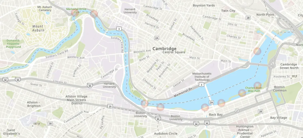
That diagnosis reframed the problem. The conventional response to CSOs was to ask how to capture, store, or treat ever larger volumes of combined sewage. The Environmental Protection Agency proposed constructing a massive storage tunnel beneath the Charles to hold combined sewage during storms until it could be treated and released. The Massachusetts Water Resources Authority favored capturing the overflows at Cambridge’s Magazine Beach, disinfecting them, and then discharging the treated water back into the river. Both approaches relied on larger and more expensive infrastructure to manage pollution after it had already been created.
We chose to ask a more fundamental question: Why was so much clean rainwater entering sanitary sewers in the first place? The answer lay upstream. Rather than building ever larger facilities to manage polluted flows after they formed, we proposed selectively separating stormwater from sanitary sewage before they mixed. Working with engineers from Boston and Cambridge, we identified where dedicated storm drains would have the greatest effect and where relatively modest interventions could keep enormous volumes of runoff out of the combined system.
The results surprised everyone. Once implemented, our approach reduced annual CSO discharges by 99.7 percent—from 1.76 billion gallons to fewer than 7 million gallons—at a fraction of the cost of competing proposals. More important, it demonstrated that understanding the watershed as a system could produce better outcomes than treating it as a collection of isolated engineering problems.
Today, the city is changing again. Climate change is bringing more frequent, intense storms, eroding the margin of safety created by decades of investment in the combined sewer system. Calls for expensive tunnels and larger pipes have predictably returned. Perhaps some will prove necessary, but they perpetuate the notion that we know better than nature.
Blue Cities
The more durable solution is to rethink the city itself. Rather than moving stormwater off the landscape as quickly as possible, we should recover the landscape’s capacity to manage water before it ever reaches the sewer. This is the premise behind what we came to call Blue Cities: using historic mapping to identify the streams, wetlands, and floodplains we buried or destroyed, then selectively restoring them. In Blue Cities, rain is not a waste product to be discarded but the starting point for supporting life and better urban design.
The reason this works is simple. As the climate changes, floodwaters are returning to the natural systems we destroyed. When we filled the wetlands, we lost their ability to store water, buffer against drought, sequester carbon, and provide important habitat. But beneath the fill, the water-saturated soils remain. The landscape has not forgotten how to hold water. And when we put the creeks into pipes and built over the lands alongside them, we did not change where floodwaters naturally want to go or their continuing need for wetland storage. Those systems are still there, waiting to be put back to work.
We’ve seen large-scale projects use green infrastructure to mitigate urban flooding. China’s sponge city program, for example, employs nature-based design to mimic the functions of the natural systems we have destroyed. Blue Cities takes a more targeted approach, strategically restoring these natural systems where they will have the greatest impact.
Selectively recovering the natural systems that once managed water can finally end CSOs while reducing flooding, moderating drought, cooling cities, and rebuilding habitat. Wetlands store enormous amounts of carbon. Massachusetts has already lost roughly 20 percent of them, yet restoring even half of what we have lost could bring the Commonwealth to net-zero emissions while making our cities more resilient. In doing so, Boston could become a carbon sink. Achieving this goal requires rethinking both our 19th-century infrastructure and the aesthetics of the city.
As climate change becomes more visible—and its consequences more dangerous and costly—the Blue Cities approach encounters far less resistance. In 2005, and even as recently as 2016, the work we were doing at the CRWA was often met with a polite “That’s interesting, but so what?” Too many people assumed climate change was a problem for 2070, not for today. As storms intensify, droughts lengthen, wildfires spread, and sea levels rise, that complacency is steadily giving way to a greater willingness to rethink how cities manage water.
Restoring natural systems in dense urban areas is often more straightforward than people imagine. Financing these transformations at the scale climate change demands is the larger challenge, though one that is becoming increasingly tractable as new environmental markets emerge. The three examples that follow begin with the individual homeowner, expand to the neighborhood, and culminate at the watershed—the level at which hydrologic systems actually operate. The first two were developed by students in my Harvard Graduate School of Design (GSD) courses; the third applies the same principles in professional practice. Together, they illustrate how Blue Cities can restore ecological function across these interconnected scales.
Case Studies
Household: Alewife Brook
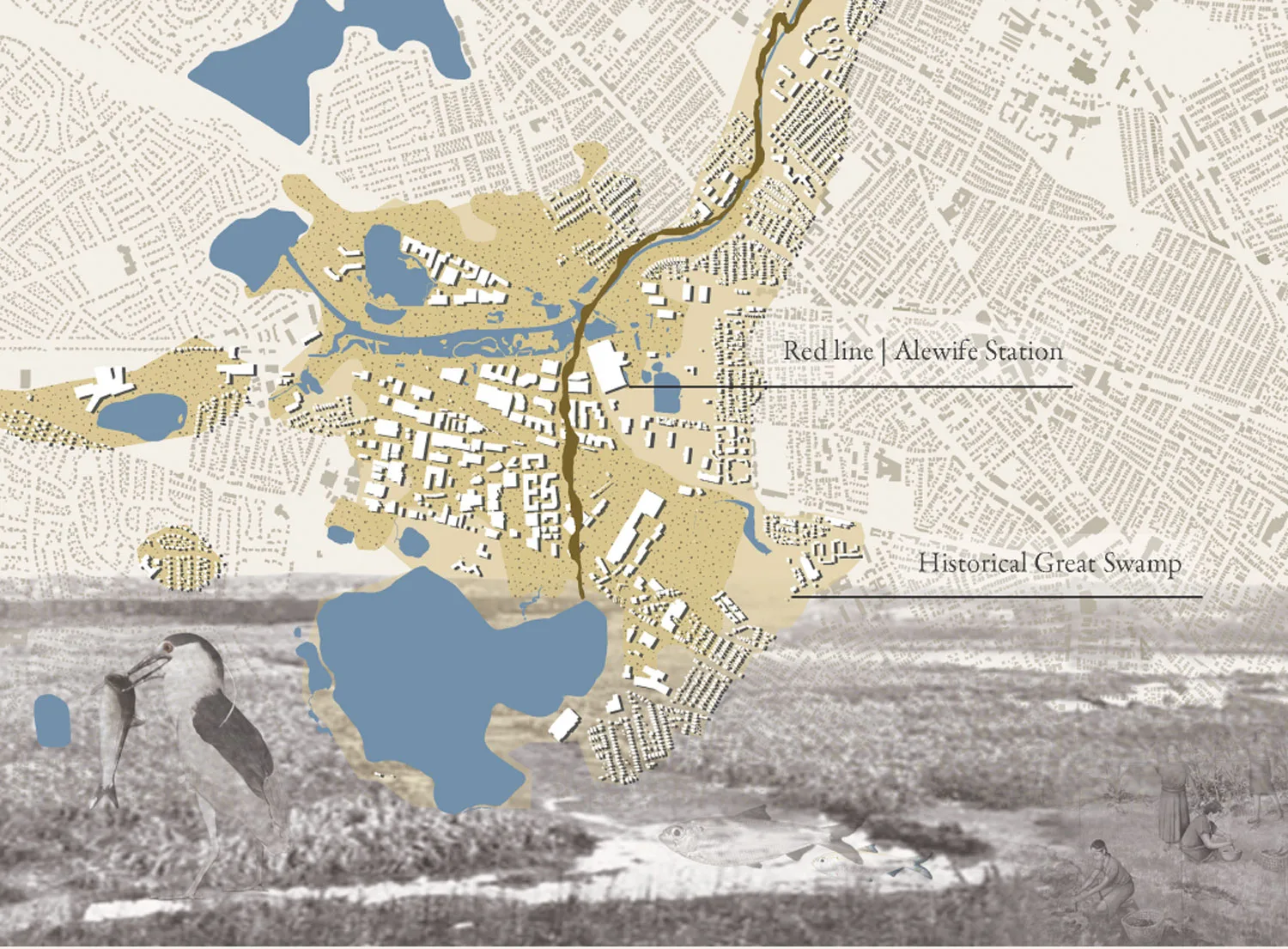
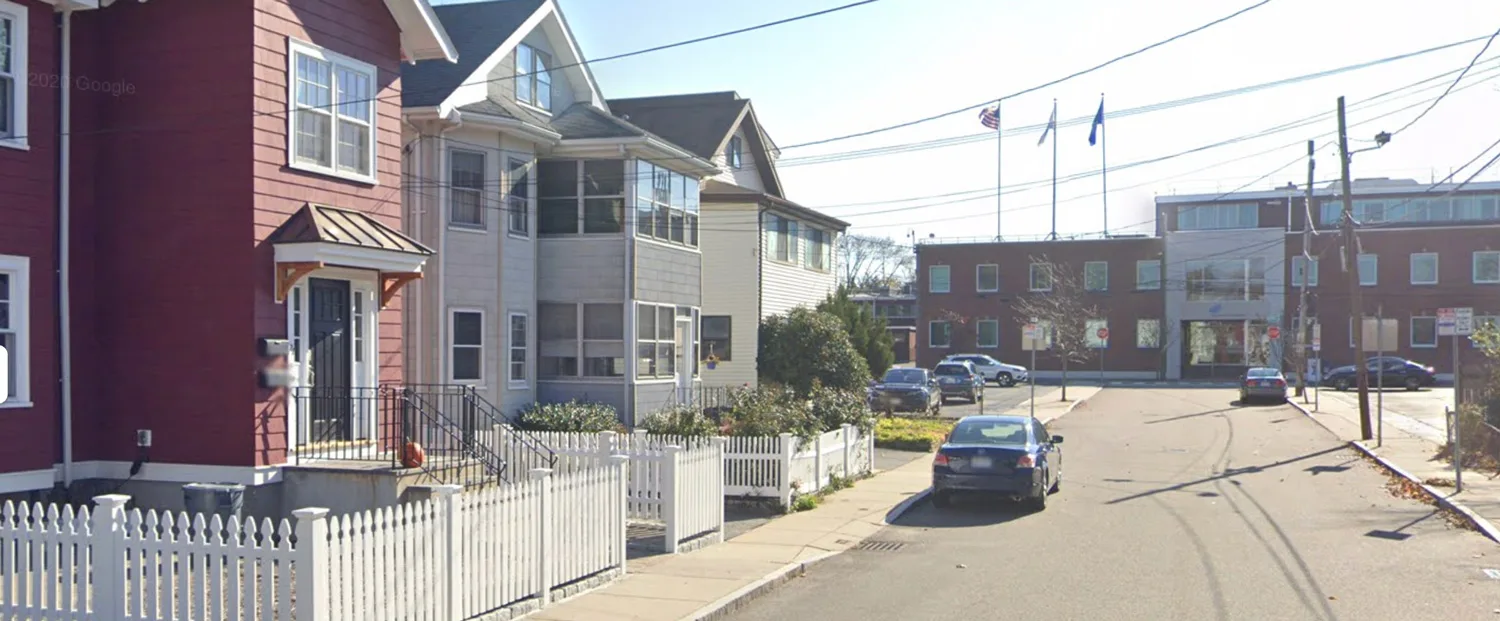
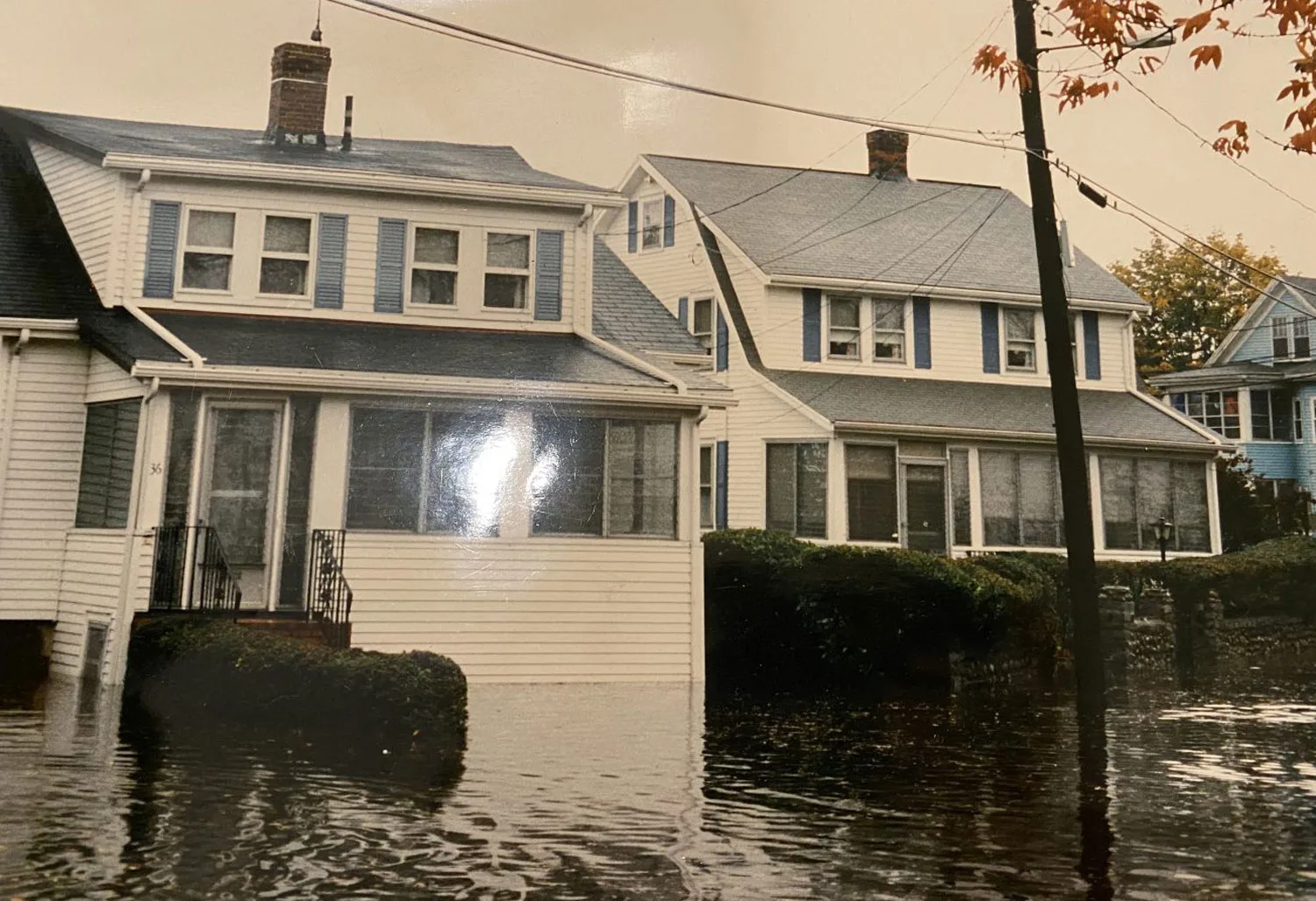
A restoration study of the Alewife Brook neighborhood in the Cambridge/Arlington area explored how homeowners could collectively transform a landscape built atop a former swamp. Although the wetland was filled decades ago, its water-saturated soils remain remarkably effective at storing stormwater and recharging groundwater. The proposal reimagines ordinary front and backyards as a connected network of small interventions that slow runoff, store stormwater, and allow it to soak into the soils beneath. Individually, each intervention is modest; together, they begin to restore the hydrologic function of the lost wetland, reducing flooding and the stormwater flows that contribute to combined sewer overflows.

Neighborhood: Harvard Allston
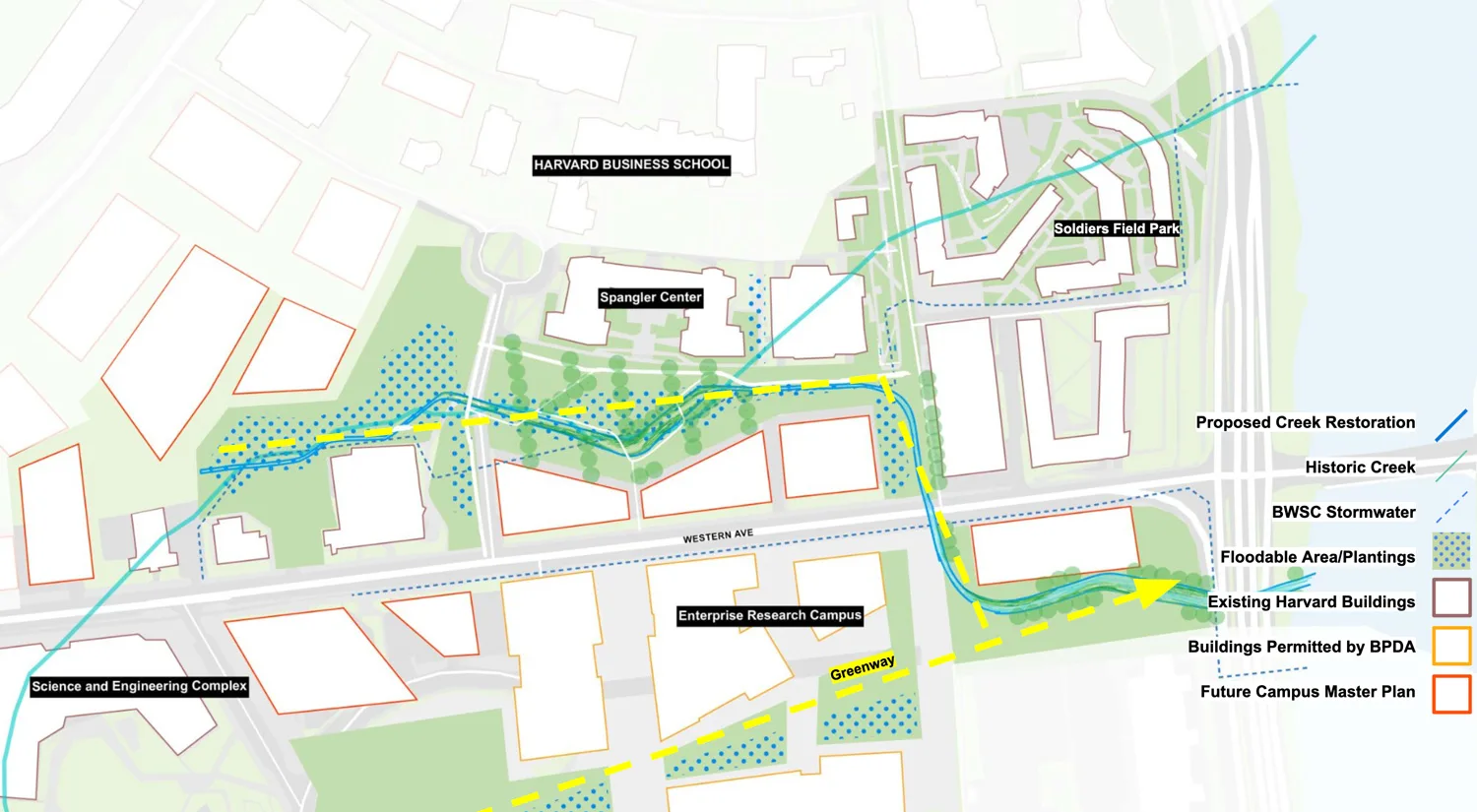
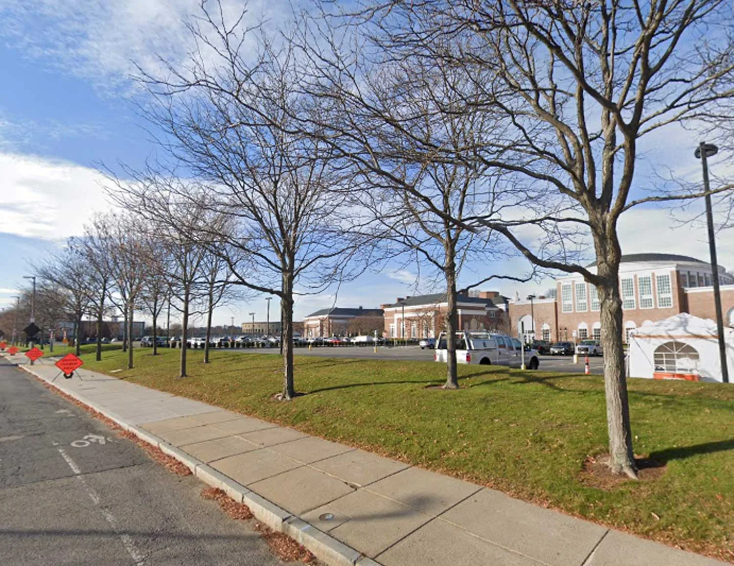
This proposal reimagined Harvard’s Allston campus by restoring the historic Allston Creek as the organizing feature of the neighborhood. Rather than treating stormwater as something to move off-site as quickly as possible, the proposal puts the landscape back to work—reducing flooding and drought, expanding habitat, and creating a more inviting public realm shaped by a restored natural system.

Watershed: Woonasquatucket River
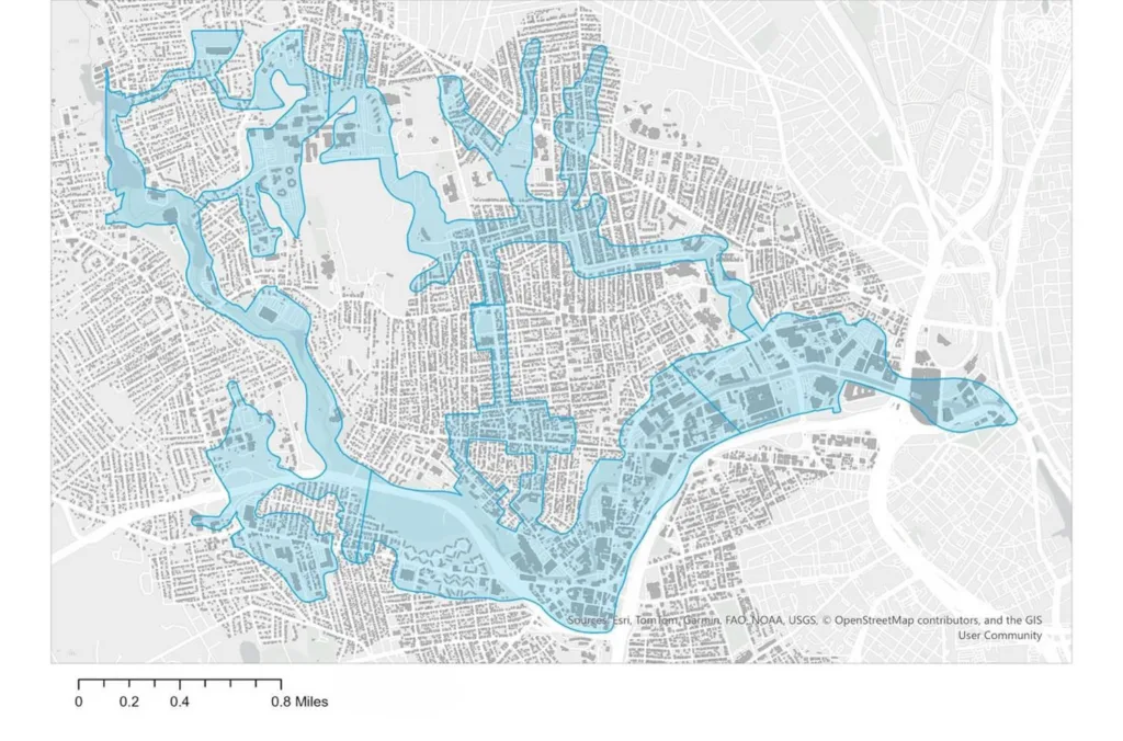
Building on the same principles, a professional analysis by my firm, Blue Cities, Inc., examined the Woonasquatucket River watershed in northern Rhode Island. Rather than asking where larger pipes or detention facilities should be built, the analysis identifies where restoring natural systems would have the greatest cumulative effect across the watershed. Working at this scale addresses flooding while simultaneously reducing drought, moderating urban heat, improving water quality, sequestering carbon, and rebuilding habitat.
The challenge before us is not simply to adapt cities to a changing climate, but to remember what the landscape has never forgotten. Recovering buried streams, wetlands, and floodplains is not an act of nostalgia but a practical strategy for building healthier, more resilient cities. The next generation of urban infrastructure will be judged not by the size of its pipes or tunnels, but by how effectively it restores the natural systems cities have spent the last two centuries dismantling.